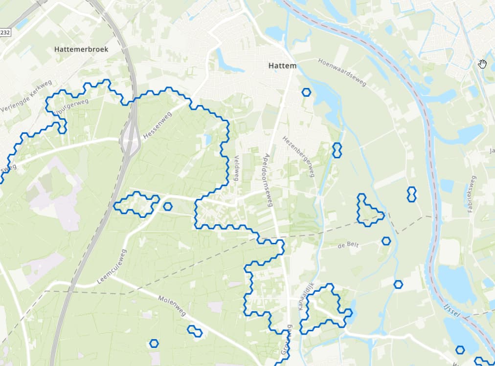
I have the following geojson element. When I add these and many others to a geojsonview, the stroke color is correct but the fill stays empty. According to the documentation, it should be supported. Does anybody know what I am doing wrong?
We use viktor SDK: 14.11.0 on python 3.10
{
"type": "Feature",
"geometry": {
  "type": "Polygon",
  "coordinates": [[[6.099592460648699, 52.33009087363639], [6.099145164816067, 52.33057647596469], [6.099607960629977, 52.33105659750646], [6.100518061785403, 52.3310511114381], [6.100965347333358, 52.33056550398212], [6.100502542010893, 52.33008538772219], [6.100949818050788, 52.32959978025025], [6.10048702301297, 52.32911966382001], [6.099576961443019, 52.32912514958005], [6.099129675118972, 52.3296107519245], [6.099592460648699, 52.33009087363639]]]
  },
"properties": {
  "description": "Rijntakken",
  "stroke": "#0066cc",
  "fill": "#0066cc"
  }
}
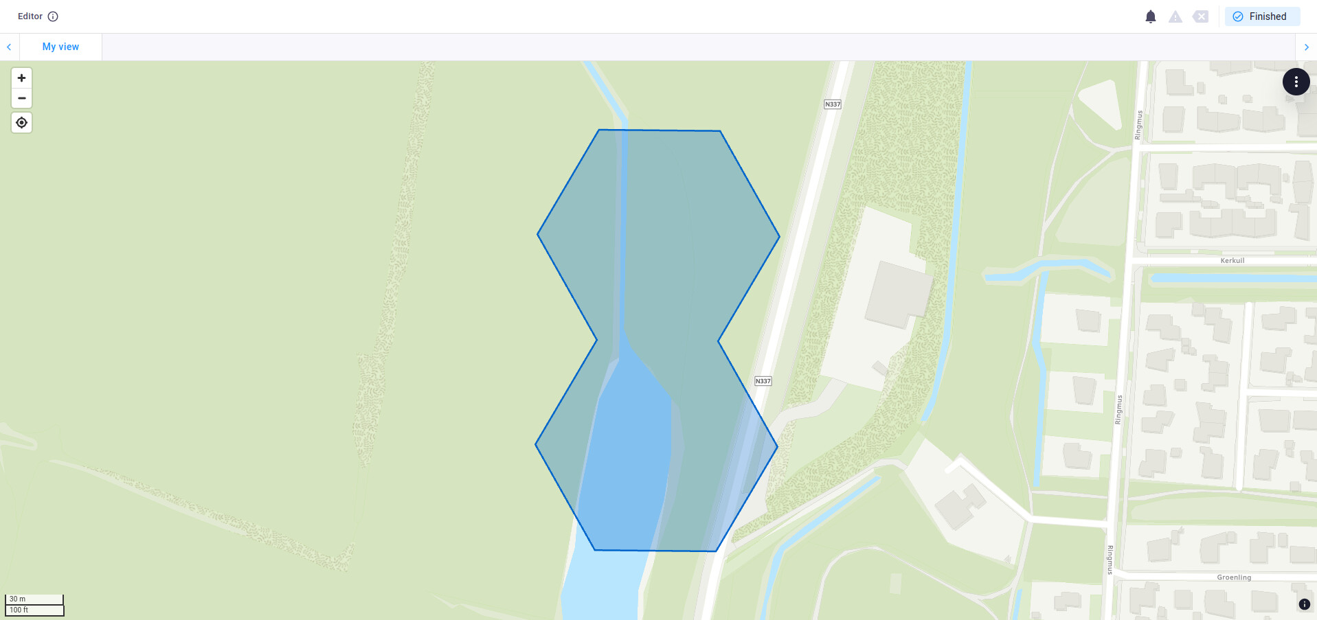
Hi Vincent,
When I add your example to a view it gives me proper fill:
from viktor import ViktorController
from viktor.parametrization import ViktorParametrization
from viktor.views import GeoJSONView, GeoJSONResult


class Parametrization(ViktorParametrization):
    pass


class Controller(ViktorController):
    label = 'My Entity Type'
    parametrization = Parametrization

    @GeoJSONView("My view", duration_guess=1)
    def get_view(self, params, **kwargs):
        d = {
            "type": "FeatureCollection",
            "features": [
                {

                        "type": "Feature",
                        "geometry": {
                            "type": "Polygon",
                            "coordinates": [[[6.099592460648699, 52.33009087363639],
                                             [6.099145164816067, 52.33057647596469],
                                             [6.099607960629977, 52.33105659750646],
                                             [6.100518061785403, 52.3310511114381],
                                             [6.100965347333358, 52.33056550398212],
                                             [6.100502542010893, 52.33008538772219],
                                             [6.100949818050788, 52.32959978025025],
                                             [6.10048702301297, 52.32911966382001],
                                             [6.099576961443019, 52.32912514958005],
                                             [6.099129675118972, 52.3296107519245],
                                             [6.099592460648699, 52.33009087363639]]]
                        },
                        "properties": {
                            "description": "Rijntakken",
                            "stroke": "#0066cc",
                            "fill": "#0066cc"
                        }
                    }
            ]
        }
        return GeoJSONResult(d)
I really just discovered the mistake. One of the polygons has the wrong CRS. As a result, the geojson view lost control somehow. I just set it to the correct CRS and now it works indeed.