For applications specific to the Netherlands, you can use the data from the Basisregistratie Adressen en Gebouwen (BAG) to visualize the contours of the buildings in the MapView. By using the API of the BAG, you can retrieve the coordinates of the contours of buildings, as well as other information you would like to use in your application, and render MapPolygons in your MapView (and maybe even add the building info as a description to the MapPolygon). Here is an example on how this was done in app where buildings played a central part in an analysis:
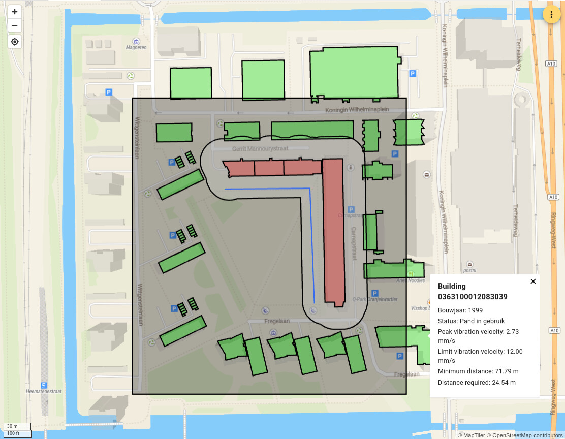
Image by CEMS via https://vibracore.viktor.ai/
#mapview #mappolygon #bag